Pin Parvati Pass Trek


-
Duration 10 Days
-
Type Our Signature Treks
-
Languages English , Hindi
About
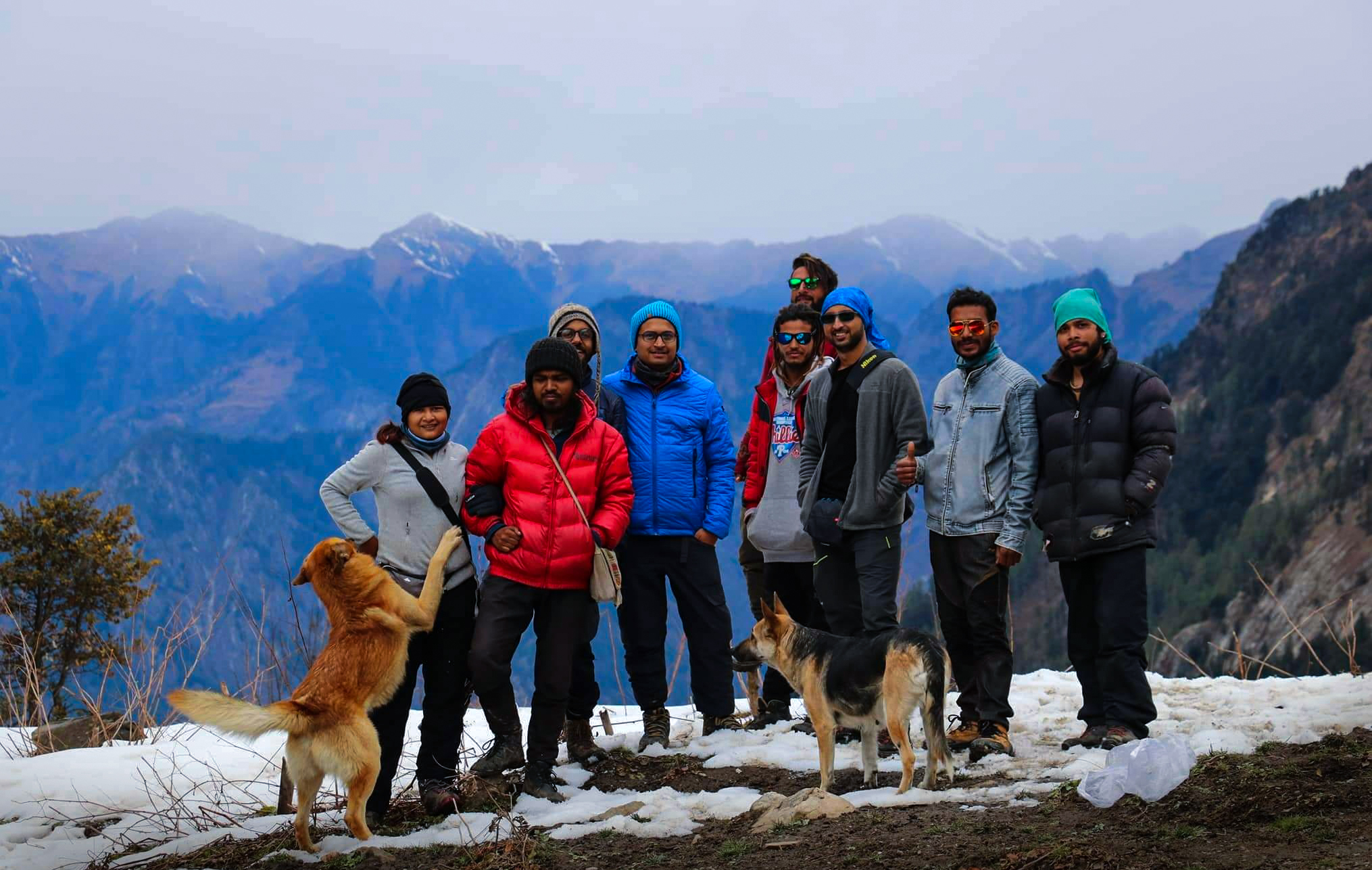
Pin Parvati Pass, a trans-Himalayan trek, is one of the toughest cross overs treks in the country, meant for seasoned trekkers looking for a challenge.
Pin Parvati Pass, a trans-Himalayan trek, is one of the toughest cross overs treks in the country, meant for seasoned trekkers looking for a challenge. It is your passage between two distinct worlds - that from the abundant and alive Parvati valley which starts at the confluence of Parvati river and Beas river in Himachal Pradesh to the dry, resilient and almost galactic Pin Valley in Spiti (the cold desert).
The trail of Pin Parvati starts at Bhuntar which, a town in the Kullu district of Himachal Pradesh.
The best time to do this trek is between June and September.
Included/Exclude
- 1.Accommodation and Meal on the first day.
- 2.Meals while on trek
- 3. Trek equipments: Sleeping bag, mattress, tent (twin sharing), kitchen & dinning tent, utensils and crampon etc. (if required).
- 4. Mountaineering qualified & professional trek Leader, guide and Support staff.
- 5. First aid medical kits, and oxygen cylinder. (if required)
- 6. All necessary permits and entry fees.
- 7. Porter to carry the central luggage
- 8. Transportation from Bhuntar to Barsheni.
- 1. Meals during road journeys
- 2. Any kind of Insurance
- 3. Any expense of personal nature
- 4. Any expense not specified in the inclusion list
- 5. Carriage of personal rucksack
- 6. Meals during Hotel Stay
- 7. Stay in kaza
Tour Plan
Bhuntar (2,000M) to Barsheni (2,580M)
Distance: 50 kms drive
Time Taken: 2.5 hours
Today is a relaxed day – one which includes assembling at Bhuntar and then driving up to Barsheni, which is the trail head for Pin Parvati Trek. Bhunter is 11 kms from Kullu, Himachal Pradesh. The airport at Bhuntar connects the place to all the major cities making it easily accessible. The drive from Bhuntar to Barsheni is 50 kms and should take about 2.5 hours to complete. From here, we trek to Kalga which will take less than 20 minutes to cover. We spend the remainder of the day going over the itinerary, getting acquainted to our fellow trekkers and settling into our accommodation for the day.
Kalga (2,280M) - Kheerganga (2,960M)
Time Taken: 6 hours trek
Distance: 8 Kms
Kalga is a charming little village in Parvati Valley in the Kullu district of Himachal Pradesh. This beautiful establishment doubles up as the trail head for the popular Kheerganga trek which sees a lot of tourists each year. It also serves as a trail head for this trek.
The trail begins with a sharp descent until we hit the riverbed. Post this, it is a moderate climb all the way up to Nakthan which is an even smaller settlement. It accommodates close to 20-30 households with a few options of refreshments and snacks if you want to fill your tummies for the trek ahead. The village sits to the left of the roaring Parvati River and lies at a halfway mark on the trail to Kheerganga. Bordered by neatly laid out rows of apple trees on both sides of the village along with the variety of colours bursting out from the flora in and around the village, this tiny settlement is nothing if not refreshing. This is the landscape we follow all the way to Rudranag Temple. The Rudranag temple is 30 minutes from Nakhtan village and gets its name from the serpent-like waterfall near the temple.
Soak in the beauty of the place, for from here on, it is a steep climb up to Kheerganga. From Rudranag, we cross the wooden bridge over to the other side of the fierce Parvati River and follow the well-marked trail all the way to Kheerganga.
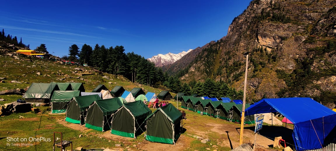
A lot of streams that need crossing welcome you all through the trail. It is not overly strenuous though, for there are plenty of rest points all the way to the campsite for the day. Kheerganga is a small colony of temporary tent shelters. It’s bang in the middle of a massive meadow with a hot water spring just by your tents. If you decide to jump into this pool of warmth to take a bath, know that it is likely to be your last during this entire trip!
Kheerganga (2,779M) to Tunda Bhuj (3200M)
Time Taken: 4 to 5 hours
Distance: 11.37 Kms
We make an early start from Kheerganga through the flower-strewn meadows on to our campsite for the day. At the beginning, the trail is muddy as opposed to the slightly rocky terrain we encountered the day before. The trek today is mostly through flat terrain with a few patches of ascent. It takes you through dense forests. More than the climb itself, there is a higher likelihood of delay to get to the campsite because of the picturesque landscape which might demand frequent and long halts just to soak all the beauty in. It is commonplace to chance upon families living in these thick forests going about their lives as you navigate your way through the trail.
The last bit for today is fairly steep, in a mucky terrain followed by a short walk through the meadows. When you start seeing the massive, foamy waterfalls on the other side of the river, lending to the dreamlike vibe of the place, know that you have reached your campsite for the day!
Tunda Bhuj (3,200M) to Thakur Kuan (3,620M)
Time taken: 3 to 4 hours
Distance: 5.24 Kms
We will start the day right after an early breakfast. If you feel bad about leaving the beautiful campsite of Tunda Bhuj behind, worry not! The route today is strewn with meadows and waterfalls too. We have 400M of height to gain today, which means that it is a fairly easy day except for the tricky section at an hour’s mark from the beginning of the trail. It tends to get a bit precarious because of the possibility of landslides. Since we are now slowly moving towards the end of the tree line, the terrain starts to get a bit rocky – it would serve you well to exercise caution on this section. Our campsite for the day is a vast expanse of pasture land right next to the bustling Parvati River. There is a trolley bridge close to the campsite which you can check out in case you reach well before dark.
Thakur Kuan (3,620M) to Odi Thatch (3,815M)
Time Taken: 4 to 5 hours
Distance: 9.66 Kms
Today is going to be one thrilling day for the two bridges which need crossing to get to our next campsite! After a mild ascent, there is a steep rise in the trail which gets you to the first bridge. Once you descend down to the river, you will encounter a massive boulder which needs to be crossed to continue on the trail. This massive boulder bang in the middle of the ferocious Parvati River is the first bridge which will make your palms sweat. It goes by the name of Pandu Pul 1. Just when you would have recuperated from this little river-crossing-in-style adventure, you will come across another 20 feet boulder just chilling in the middle of the thundering river giving you a strong sense of deja-vu! This one’s called Pandu Pul 2.
After this queer, double adventure, the trail now simmers down and is a fairly straight walk till Odi Thatch. This narrow trail with multiple routes spread across different directions is a shepherd trail. Remember to follow the person in front of you closely so as to not get lost in this labyrinth. Thatch means meadows and living up to its name, this galactic-looking campsite of Odi Thatch is in the middle of a vast pasture land.
Odi Thatch (3,815M) to Mantalai (4,096M)
Time Taken: 5 to 6 hours
Distance: 10.31 Kms
It’s a fair walk in the park along the banks of the pleasant and refreshing Parvati River. Halfway to our destination today, we get to a place called Mini Mantalai which is a junction for all the thousands of tiny streams which have made their way to this vast expense from different directions. This wide open land sees the merging of these many water bodies and is a marvel to witness. From Mini Mantalai, to get to the campsite for today, we now have to make a steep ascent of close to 300M which is manageable to negotiate. On the other side of the ascent lies the glacial lake, Mantalai.
Mantalai (4,096M) to Base Camp I (4,800M)
Time Taken: 5 to 6 hours
Distance: 4.45 Kms
Today is a long and hard day with a height gain of almost 800M. Considering the challenge for the day, we make an early start, at the break of dawn while the sun is still hiding behind the high peaks in the region. At the start, the trail is a bit muddy with large sections of loose scree which require extreme caution to be navigated. Once this section is crossed, we begin the long and hard ascent for the day.
Base Camp I (4,800M) to Base Camp II (4,800M) via Pin Parvati Pass (5,289M)
Time Taken: 7 - 8 hours
Distance: 6.37 Kms
Today is THE day! We pass the cross today and make our way into Spiti - a completely different world on the other side. Since it is going to be a long day, we make an early start, much before the break of dawn so that we get some firm ice to walk on.
On crossing the glacier, the last bit to get to the pass is a steep climb of close to 300-400M. This climb will take you straight to the top of the pass which gives you a glimpse into the two distinct valleys - the Parvati valley to one side and the Pin Valley on the other.
Base Camp II (4,800M) to Wichkurung Thatch (3,500M)
Time Taken: 6 hours
Distance: 11.83 Kms
We again make an early start. The trail descends down sharply for around 3Km. Another 1.5kms will bring you to a river crossing section post which the descent continues. Three more kilometers and we cross the river over to the other side. We continue walking on this trail by the river till we reach our campsite for the day.
Wichkurung Thatch (3,500M) to Mudh (3,970M) to Kaza (3,800M)
Time Taken: 5 hours trek + drive to Kaza
Trek Distance: 15.26 Kms
The trail today enters a wide-open valley with numerous streams spread across its floor.
This trail leads us straight to the Mudh Village in the desolate, galactic Pin Valley. After you explore the peculiar mountain culture and are done introducing your taste buds to their local Himalayan cuisine, we hit the road again, this time to drive two hours to the town of Kaza.
Location
Customer Reviews
0 Review
No Review Found
Leave a Reply

Most Popular Tour Packages
Our Popular Tours
 New
Featured
New
Featured